Culture and Conservation: Fishing for Change
Perth, Western Australia
November 11–15, 2024
Over 1,500 marine mammalogists from over 75 countries attended the Society for Marine Mammalogy’s in-person-only 25th Biennial Conference on the Biology of Marine Mammals in Perth this November.

The conference theme “Culture and Conservation: Fishing for Change” focused on the intersection of marine mammal and human cultures and the urgent need for conservation in response to fisheries interactions. Marine mammal research, conservation, and management studies were highlighted during 541 long, short, and video presentations and 459 poster presentations. Azura staff contributed to several of these presentations on a variety of topics, including data collection for false killer whales, small cetacean range shift models, and automatic detection of whales from satellite imagery. Please see below for more information on these studies.
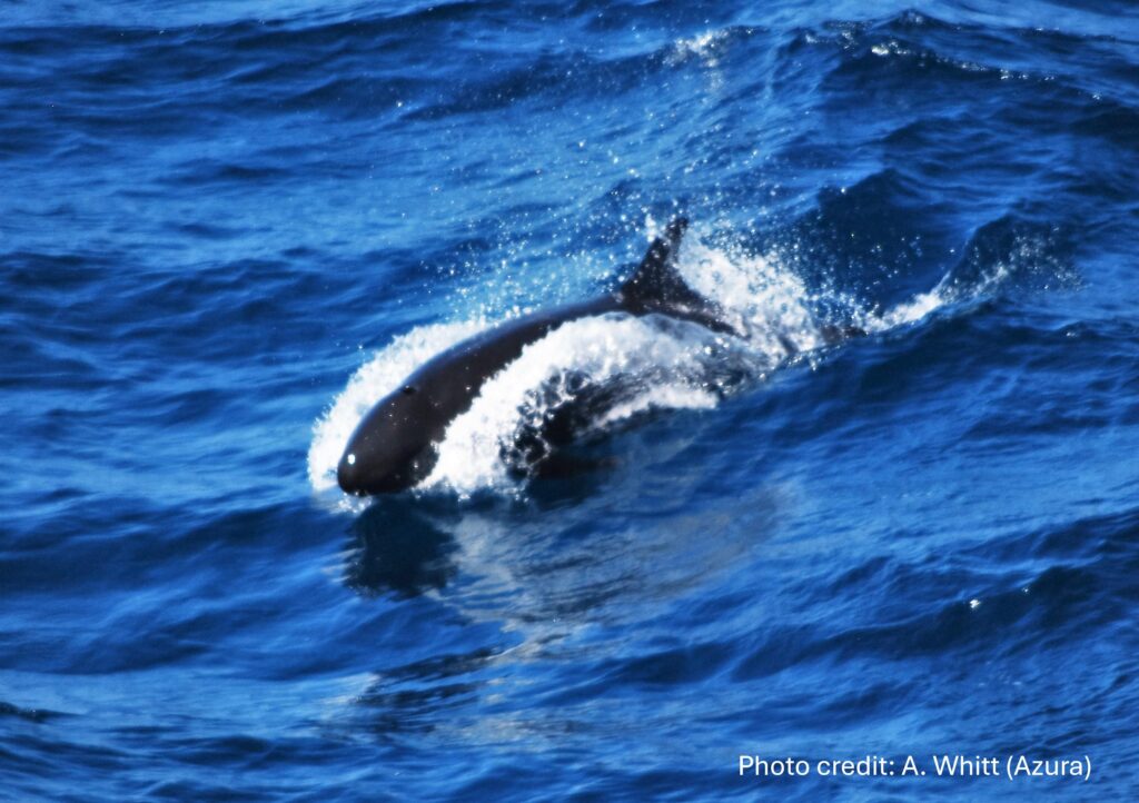
Subgroup-based Data Collection for False Killer Whales: Inference from Over a Decade of Line-transect Surveys in the U.S. Pacific Islands
Shipboard line-transect surveys to estimate cetacean abundance usually focus on whale and dolphin groups. Scientists at the NOAA Fisheries Pacific Islands Fisheries Science Center changed to a subgroup-based data collection and analysis approach for false killer whales, which has improved the assessment of this priority species with high levels bycatch in pelagic longline fisheries.

Azura staff member Eric Keen led the development of open source software to analyze line-transect data for cetaceans, which included specific functionality for false killer whale subgroups. The abstract for this presentation and all authors are listed below.
Authors: Amanda L. Bradford, Erin M. Oleson, Karin A. Forney, Marie C. Hill, Kymberly M. Yano, Eric M. Keen, and Jay Barlow
Abstract: False killer whale (FKW) groups travel in coordinated, widely-dispersed subgroups, complicating the group-based data collection protocols typically used during cetacean line-transect surveys. To address this spatial mismatch, the NOAA Fisheries Pacific Islands Fisheries Science Center (PIFSC) implemented a two-phase “FKW protocol,” with Phase 1 consisting of passing mode detections of FKW subgroups to inform subgroup encounter rate, and Phase 2 involving closing mode approaches to estimate subgroup size. From 2011 to 2023, PIFSC conducted 10 ship-based, line-transect surveys leading to 56 FKW sightings made using the FKW protocol. An analysis comparing subgroup size estimates from Phase 1 and Phase 2 did not reveal the expected underestimation of subgroup size during Phase 1, suggesting the time investment in Phase 2 may not always be necessary and could be used for other activities (e.g., photo-ID or biopsy sampling). Common challenges in executing the FKW protocol include the typical extended encounter durations, the real-time intensity and coordination of visual and acoustic data collection, and the dynamic nature of FKW behavior and survey conditions. Abundance estimation for FKWs also includes treatment of subgroups (as opposed to groups) as the detection unit and requires accommodating deviations from the protocol and the presence of known population structure. Data collected using the FKW protocol can be analyzed using specific subgroup functionality in the newly-available R package ‘LTabundR’ for design-based line-transect abundance estimation of cetaceans. Work is ongoing to analyze acoustic data from FKW subgroups, which will enhance the precision of abundance estimates and offer insights into how FKWs respond to the survey vessel. Subgroup-based data collection and analysis has improved assessment of FKWs in the U.S. Pacific Islands, with important implications for management given elevated levels of FKW bycatch in longline fisheries.
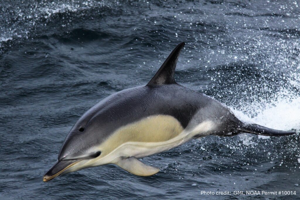
Modeling Range Shifts of Small Odontocetes in the Northeast United States
Azura CEO and owner, Amy Whitt, contributed to this assessment of large-scale range shifts in small odontocetes to better anticipate human-wildlife interactions and long-term changes in habitat across international boundaries. The abstract for this presentation and all authors are listed below.

Authors:
Nathan Hirtle – School of Marine and Atmospheric Sciences, Stony Brook University
Lesley Thorne – School of Marine and Atmospheric Sciences, Stony Brook University
Jason Roberts – Marine Geospatial Ecology Lab, Duke University
Patrick Halpin – Marine Geospatial Ecology Lab, Duke University
Meghan Rickard – New York State Department of Environmental Conservation and New York Natural Heritage Program
Ann Zoidis – Tetra Tech
Kate Lomac-MacNair – Owl Ridge Natural Resource Consultants
Debra Palka – Northeast Fisheries Science Center
Lance Garrison – Southeast Fisheries Science Center
Susan Barco – Virginia Aquarium and Marine Science Center
Jessica Redfern – New England Aquarium
Orla O’Brien – New England Aquarium
Ester Quintana-Rizzo – Simmons University, Boston, MA
William McLellan – University of North Carolina Wilmington
Oliver Boisseau – Marine Conservation Research
Mark Cotter – HDR, Incorporated
Amy Whitt – Azura Consulting LLC
Abstract: Climate change is causing significant changes in marine ecosystems globally, with oceanic warming being a primary driver. Atlantic waters off the northeast United States are warming rapidly compared to other global ocean regions. Little is known about the impacts of ocean warming on small odontocete species, many of which have broad seasonal distributions. While previous studies have suggested poleward range shifts in some odontocetes in this region, a robust, spatially explicit analysis over multiple decades has not yet confirmed an assessment of distributional changes at sea. The potential for large-scale range shifts in small odontocetes necessitates a comprehensive analysis to better anticipate human-wildlife interactions and long-term changes in habitat across international boundaries. To address this gap in knowledge, we used over three million kilometers of vessel and aerial line transect survey data conducted from 1997 to 2020 to build species distribution models for six species of odontocetes: four warm-water species (Tursiops truncatus, Stenella frontalis, Grampus griseus, and Delphinus delphis) and two cool-water species (Lagenorhynchus acutus and Phocoena phocoena). Using a series of generalized additive models for each species, we assessed which modeling specification is best suited to modeling range shifts in odontocetes by examining the effects of including temporally varying species-environment relationships and bivariate spatial smooths on model predictions. Spatially explicit predictive maps of odontocete density over the 24-year study period demonstrated significant poleward range shifts in the density-weighted centroids of all species in at least one season, with the core habitat’s leading (poleward) and trailing (equatorward) edges moving poleward at different rates than the centroids. However, comparisons among the various model specifications suggest that the ability to detect range shifts is highly influenced by the presence or absence of explicit spatial and temporal terms, emphasizing the importance of considering spatiotemporal variability in modeling small odontocete distributions.
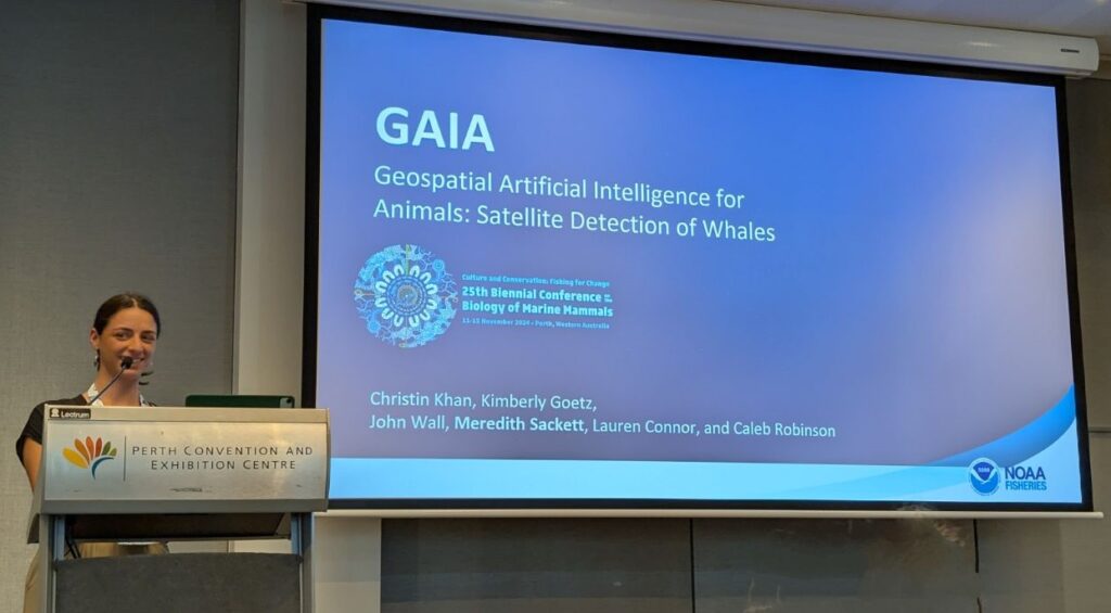
Geospatial Artificial Intelligence for Animals: The Challenges of Processing Satellite Imagery at Scale
The Geospatial Artificial Intelligence for Animals (GAIA) project seeks to develop a pipeline for automatic detection of whales from satellite imagery. Our ultimate goal is to cement this technology as a tool in the conservation biologist’s toolbox to monitor whale distribution and even abundance, much in the same way that we use observations from vessel-based and aerial surveys and acoustics data today.

Azura new staff member Meredith Sackett contributed to this study. The abstract for this presentation and all authors are listed below.
Authors: Goetz, K.1; Khan, C.2; Robinson, C.3; White, T.4, Sackett, M.5
1NOAA Fisheries, Alaska Fisheries Science Center, 7600 Sand Point Way N.E., Seattle, Washington 98115
2NOAA Fisheries, Northeast Fisheries Science Center, 166 Water Street, Woods Hole, Massachusetts 02543
3Microsoft AI for Good Lab, Microsoft Building 124, 4270-4348 150th Ave NE, Redmond, WA 98052
4Bureau of Ocean Energy Management, Environmental Studies Program, Sterling, VA 20166
5Integrated Statistics, 16 Sumner Street Woods Hole, Massachusetts 02543
Abstract: The recent advancements in very high resolution satellite imagery, cloud computing, and artificial intelligence have tremendous potential for the development of an operational system to detect marine mammals around the world. The Geospatial Artificial Intelligence for Animals collaboration is uniquely situated to develop an operational marine mammal detection workflow by accessing commercial satellite imagery provided by the US Geological Survey to civil agencies through the National Civil Applications Center collected through contracts established by the National Geospatial-Intelligence Agency and the National Reconnaissance Office. Thus we have been able to acquire large volumes of Maxar imagery over known seasonal aggregations of the North Atlantic right whale and the Cook Inlet beluga whale from WorldView-3, WorldView-2, and GeoEye satellites. The Microsoft AI for Good lab has developed an open-source active learning pipeline to process incoming imagery, run an anomaly detector, and serve up interesting objects via a web based platform for subject matter experts to classify and validate. Effectively processing this tsunami of imagery and creating an open-source collaborative workflow has highlighted challenges in doing this at scale including cloud storage, image delivery, variations in image products, and processing methodology used across research groups (image products, pansharpening algorithms, orthorectification, digital elevation models). By sharing our challenges and lessons learned, we hope to further push the field forward into a future where scientists will have another tool in the toolbox as we seek to understand and protect marine mammals around the world.

