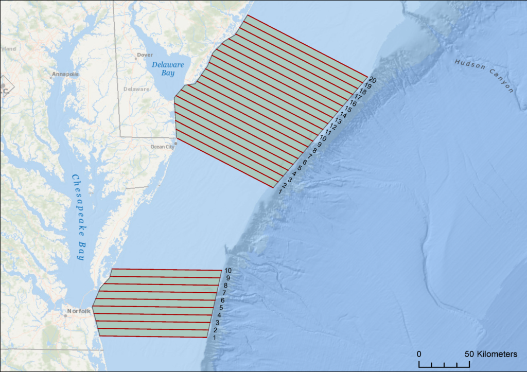
This February Azura is conducting systematic line transect aerial surveys to determine the distribution and relative abundance of large whales off the coast of Virginia, Delaware, and New Jersey. The primary target of these surveys is North Atlantic right, sei, humpback, fin, and minke whales. The Chesapeake Survey Area consists of 10 east-west tracklines extending offshore of the Chesapeake Bay entrance to the 100-fathom contour. The Delaware Survey Area consists of 20 east-southeast/west-northwest tracklines extending offshore of Delaware Bay to the 100-fathom contour and including waters off southern New Jersey.

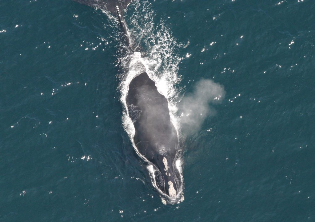
The Azura Team will survey each area two times, covering a total of 2967 nautical miles (NM) for the Delaware Survey Area and 1298 NM for the Chesapeake Survey Area. Sightings data recorded will include species identification, the angle of the sighting from the trackline, behavior, and group size and formation. Photographs of right whales will be taken for identification of individuals and submission into the Digital Image Gathering and Information Tracking System (DIGITS) data management program curated by the New England Aquarium.
This research is being conducted in compliance with the National Marine Fisheries Service (NMFS) Research Permit No. 21371-01 and under contract to the NMFS Northeast Fisheries Science Center. Results of this study will inform regulations to mitigate impacts of commercial fishing, vessel traffic, and wind energy development on right whales and other large whales protected under the Endangered Species Act and Marine Mammal Protection Act.
Sightings from our surveys can be viewed on WhaleMap.


