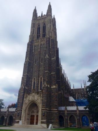
 October is a great time to visit North Carolina to enjoy the peak of the fall foliage. It’s also a great time to go back to school. I got to do both during the last week of October when I attended the intensive course “Spatial Models for Distance Sampling Data” at Duke University’s Nicholas School of the Environment. The course was offered through the Duke Environmental Leadership (DEL) Program in collaboration with the University of St Andrews in Scotland. The DEL Program includes a variety of courses specifically designed for environmental professionals and leaders. This particular course focused on both theory and best practices for spatial modeling of distance sampling data collected via line transect surveys.
Having not returned to my alma mater in over 10 years, I was pleased to see that the quality of the facilities and lectures were on par with the high standards I experienced when I last walked the halls of the Nicholas School. In typical Duke fashion, the two instructors chosen to give this course were also of the highest caliber. Dr. David Miller is a Research Fellow at the University of St Andrews Centre for Research into Ecological and Environmental Modelling (CREEM). He has worked on distance sampling software for the past decade and is the author and maintainer of Distance, mrds, dsm, readst, and mmds. A former software engineer for Microsoft, Mr. Jason Roberts is an Associate in Research at Duke’s Marine Geospatial Ecology Lab. Jason is the author of the MGET toolbox for ArcGIS and has taught numerous workshops on GIS and habitat modeling.
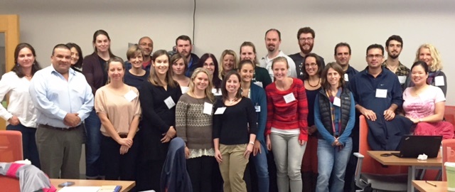
 David and Jason combined their expertise in statistics, modeling, and coding to provide our class with an end-to-end workflow for spatial modeling of distance sampling data. Participants included marine scientists from other environmental consulting firms as well as students, research analysts, professors, and wildlife managers from Canada, France, Denmark, Australia, and across the U.S. Our class was diverse and eager to learn about the latest advances in distance analysis methods and tools so that we can apply these to our own research on wildlife in terrestrial and marine environments.
The course followed the density surface modeling approach and was a perfect complement to the Distance Sampling workshops that most of us have taken previously at CREEM. In fact, David and Jason covered several of the latest best practices for analyzing distance sampling data, specifically line transect data. Line transect surveys are one of the main methods we use to study marine mammals at sea. Therefore, I was pleased that David and Jason covered the statistical methods and guidelines that have been updated since I completed CREEM’s workshops in 2008 and 2009. In addition, the course included new techniques for managing and manipulating survey and environmental data in ArcGIS using the MGET toolbox developed at Duke’s Marine Geospatial Ecology Lab, building and evaluating spatially explicit models of abundance in R, and using new packages developed at CREEM. We use these tools and approaches to spatially model the abundance of animals and produce maps showing how the abundance of animals varies over a particular area. These maps allow wildlife managers, developers, and stakeholders to plan and manage human activities so that any potential impacts to wildlife and important habitats can be minimized.
Thanks to David and Jason for their hard work in preparing this course and tag-teaming the lectures and exercises. They did an excellent job covering an immense amount of information in just four days. Thanks also to Laura Lipps, Allison Besch, and other DEL Program staff for ensuring that our day-to-day activities ran smoothly. All participants received a certificate for their successful completion of this intensive course. Click here for information on other courses and degree programs offered through the DEL Program.


